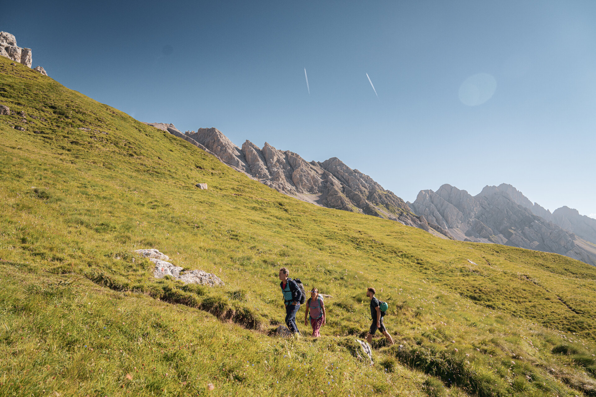
Latemar, Catinaccio, Sassolungo, Sella, Monzoni, and Marmolada. In the summer, hiking in the Dolomites never ends.
The trails in Val di Fassa seem endless in the summer because each conquered panorama reveals new possibilities. To help you create the map of your personal Dolomites adventure, we have selected 10 iconic itineraries and 10 alternative routes that you absolutely must not miss. For each itinerary, categorized by location, we have provided information about refreshment points, mountain huts, and everything you need to turn every trek into a vacation within your vacation. You will find practical tips to avoid unpleasant inconveniences and information about the lift facilities that, with the Panorama Pass, allow you to reach the starting point of your hike with complete freedom.
The hiking map includes:
- descriptions of 10 iconic itineraries and 10 alternative routes with estimated times, length, difficulty level, ascent and descent elevation gain
- a list of mountain huts and refreshment points, services, and contact information
- a list of trails in Val di Fassa
- helpful tips for making the most of your outdoor experience in the valley
The hiking map, available for a fee (50% discount for Val di Fassa Guest Card holders), can be obtained at all tourist offices in the valley.

