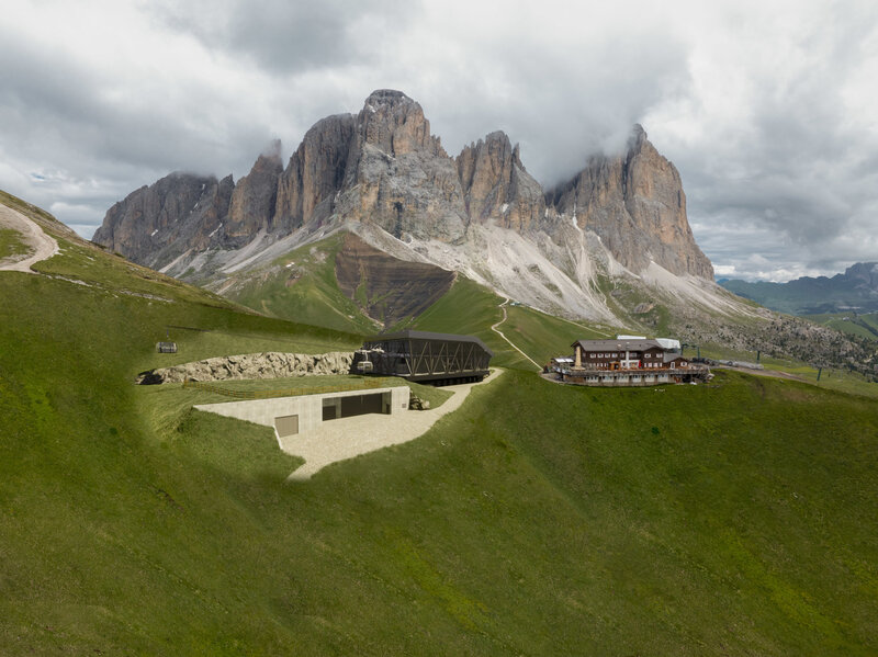
How To Reach Col Rodella On Foot From Sella Pass

How to reach Col Rodella on foot from Sella Pass

All alternatives to the closed cable car

Ways to reach Col Rodella without the cable car

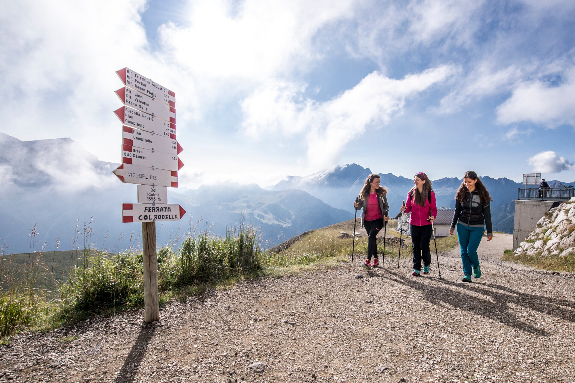
Col Rodella remains a spectacular destination, even while the Campitello cable car is closed. From Sella Pass, the area is easily accessible on foot, combining public transport, lift connections, and panoramic trails. The most popular routes from Col Rodella include the Friedrich August Weg and the Sassolungo-Sassopiatto Tour, with the option to return via the Val Duron. Whether you begin at a bus stop or the top of a lift, your hike will take you through flower-filled alpine pastures, past welcoming mountain huts, and along ridgelines offering breathtaking views of the Dolomites.

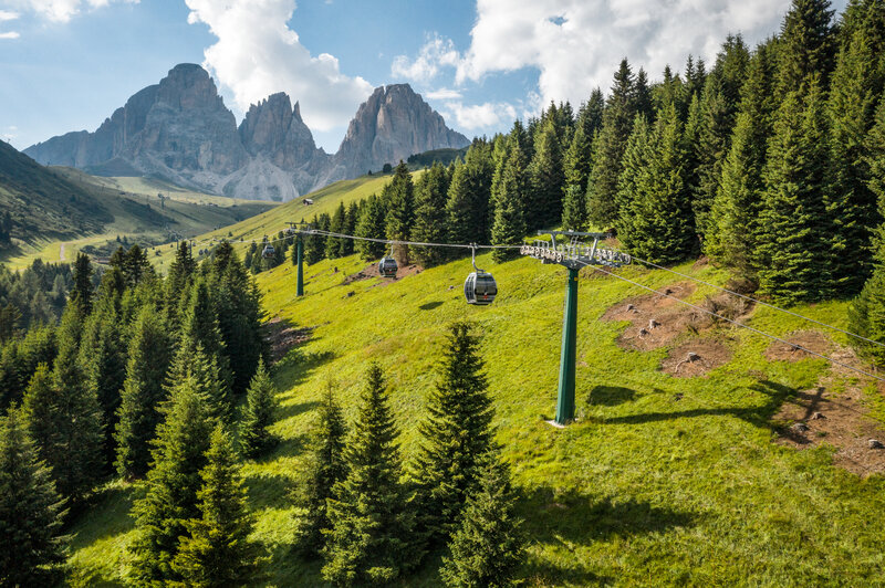
From Pradel-Salei gondola top station

Destination Distance
(one way)
Time
(one way)
Elevation gain (+/-)

Rifugio Carlo Valentini

757 m

15'

+14 / -40 m

Rifugio Salei

230 m

5'

+14 / -17 m

Rifugio Friedrich August

750 m

20'

+85 / -16 m

Rifugio Des Alpes

1 km

30'

+168 m


From Des Alpes chairlift top station

Destination Distance
(one way)
Time
(one way)
Elevation gain (+/-)

Rifugio Des Alpes

at the arrival
of the lift

Rifugio Friedrich August

716 m

15'

-99 m


From Sella Pass bus stop

Destination Distance
(one way)
Time
(one way)
Elevation gain (+/-)

Rifugio Carlo Valentini

731 m

10'

-30

Rifugio Salei

1,2 km

20'

+19

Rifugio Friedrich August

2 km

40'

+99

Rifugio Des Alpes

2,1 km

50'

+182 m


From Hotel Passo Sella Dolomiti Mountain Resort

Destination Distance
(one way)
Time
(one way)
Elevation gain (+/-)

Rifugio Carlo Valentini

490 m

10'

+36

Rifugio Salei

917 km

15'

+46

Rifugio Friedrich August

1,7 km

35'

+134

Rifugio Des Alpes

1,9 km

50'

+217 m

Tips and useful info

How to get to Col Rodella by lifts

Getting to Col Rodella from Canazei or Alba - What to do without the cable car

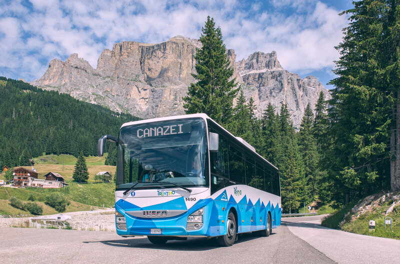
How to reach Pian de Frataces and Sella Pass by bus

Leave your car behind and take the bus from Canazei - it's free with the Val di Fassa Guest Card!

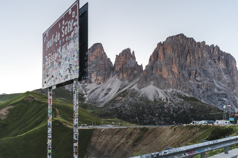
How to reach the Sella Pass by car

Recommended lifts and bus services are available, but the Sella Pass is also accessible by car. Click here for parking details

How to reach Col Rodella - Summer 2025

Lifts, shuttles and hikes - discover how to reach Col Rodella

Frequently Asked Questions - FAQ

To reach the arrival station of the Pian Frataces-Gherdecia cable car from Col dei Rossi, follow a pleasant downhill path that alternates between dirt tracks and grassy trails. The walk takes approximately 30-35 minutes, with a total elevation gain of about 180 metres.
The route is generally accessible with a trekking stroller, although caution is advised on steeper sections or where the terrain may be uneven.
Be especially attentive at trail crossings, as cyclists also use parts of the route.

The top stations of the Toè and Pian Frataces-Gherdecia gondolas are connected by a pleasant downhill path, alternating between dirt roads and grassy trails. The walk takes approximately 15 to 20 minutes, with a total elevation loss of about 71 metres.
The route is suitable for trekking strollers, though caution is recommended on steeper stretches or where the terrain is uneven.
Be particularly careful at trail crossings, as cyclists may also be present along the way.

Yes, the high-altitude trails are generally open and accessible throughout the hiking season. The Sassopiatto-Sassolungo Tour can be enjoyed in both directions, offering flexible route options.
Temporary closures may occur due to sporting events or trail maintenance, so it’s always a good idea to check current conditions before your hike.

Before setting out, we recommend checking current trail conditions at:
www.fassa.com/en/plan-your-vacation/hiking-mtb-tours

Yes, the trails, including those in the bike park, are generally open and accessible throughout the summer season.
Please note: in summer 2025, the Sellaronda MTB Tour will depart exclusively from Canazei.
Temporary closures may occur due to sporting events, so it’s always a good idea to check current conditions before your ride.

Yes, you can walk back from Pian de Frataces (Lupo Bianco) to Canazei by following trail no. 655 through the scenic Val Mortic.
The route is approximately 2.7 km long and takes about 45 minutes, with a descent of 295 metres and a short ascent of 16 metres.
Due to its uneven terrain and steep sections, this trail is not suitable for pushchairs.

It’s a peaceful and pleasant way to end your excursion fully immersed in nature and in the spirit of sustainable travel.

Thank you

We’ve sent you an email. To activate the newsletter, click on the link you will find in the message. Thank you!

Something went wrong

Retry

Close

Subscribe to the newsletter


Cancel
Close

Concept, Design, Web

KUMBE DIGITAL TRIBU
www.kumbe.it | info@kumbe.it 

Close

Thank you

Your request has been sent successfully and we will reply as soon as possible. A copy of the data you have provided us with has been sent to your email address.

Close

Request information

Request to: APT VAL DI FASSA


Close

Request information

Request to:


Stay from/to *

-

Room/Accommodation 1